
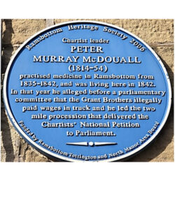
Blue Plaques
Photographs, locations and detailed historical contexts of the 5 Blue Plaques installed by the Heritage Society in Ramsbottom Town Centre
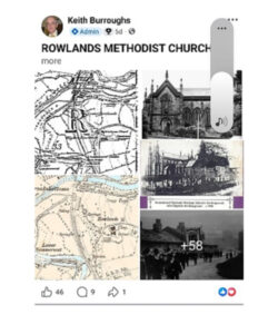
Facebook (RHS Group)
Exchanges of snippets of historical information by over 4,000 subscribers. Regular historical updates about streets, buildings and people
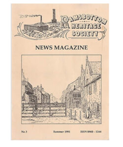
Magazine articles since 1990
Over 1,200 pages of articles on aspects of the history of our district, researched by past and present members. Searchable by key word
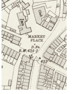
Maps
Over 50 historical maps of varying scales covering different parts of our district from the 17th Century to the present day
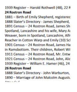
Occupants of streets and buildings
Nearly 900 pages of extracts from local sources featuring local families.
Searchable by street name
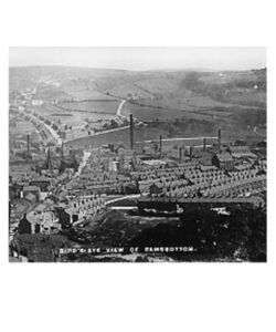
Photographic Database
Over 9,000 photographs scanned into our online database, and searchable by key words
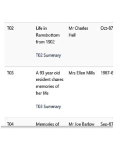
Recorded Local 20th Century Memories
Listen online to scores of hours of local memories recorded over the last 40 years. Most have written summaries.
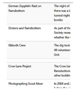
Research topics
Various projects completed by members
Also includes a link to The Ramsbottom Heritage Society Collection at Bury Archives
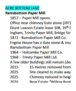
Streets and Buildings of the old Ramsbottom UDC Area
Alphabetical list with date of build and names of many inhabitants
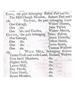
Survey and Valuation of Ramsbottom Properties, 1794
A list with occupants of all factories, farms and cottages in the Township of Tottington Lower End – effectively a list of all heads of household in the Tottington and Ramsbottom areas
Valuation of All Properties, 1910-1915
Brief descriptions and valuations of all 4,581 properties in the old Ramsbottom Urban District, often nicknamed ‘The Lloyd George Census’
Youtube Channel
Collection of videos relating to Ramsbottom, featuring our 2004 DVD, Ramsbottom's Heritage: Industrial Village, New Town and Railway 1783 – 1846 (1 hr 13 mins)