|
|
|
|
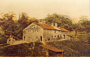
RHSBA21-18-03-008-01.jpg1920s. Lammy Bank, between Holcombe Brook & Summerseat 2 photos. Bury Archive
|
|
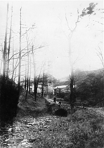
RHSBA21-18-03-008-02.jpg1920s. Lammy Bank, between Holcombe Brook & Summerseat 2 photos. Bury Archive
|
|
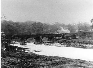
RHSBA21-18-03-009.jpgc1900. River Irwell, Summerseat. Bury Archive
|
|
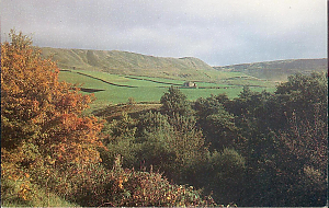
RHSBA21-18-03-010.jpgDearden Clough, Edenfield, 1980s. Once a grim ... ..industrial valleyBury Archive
|
|
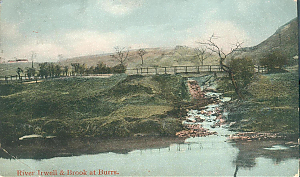
RHSBA21-18-03-011.jpgRiver Irwell & brook at Burrs. Posted 12/9/1906 Summerseat Bury Archive
|
|
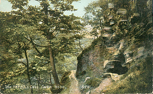
RHSBA21-18-03-012.jpgHermits Cave, Carr Wood. Posted Bury 15/9/1906 Bury Archive
|
|
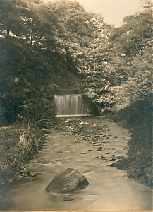
RHSBA21-18-03-014.jpg1947. Eden Woods, Stubbins.Bury Archive
|
|
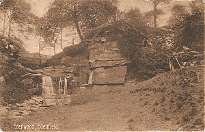
RHSBA21-18-03-015.jpgEdenwood Edenfield p.c.dated 4.January 1905Bury Archive
|
|
|
|

RHSBA21-18-03-017.jpgLooking towards Summerseat from Holcombe Hill 1960's? Bury Archive
|
|
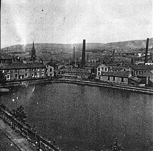
RHSBA21-18-03-018.jpgJohn Grey Lodge borderd by Lodge Street .Kay Brow, Square Street Drained date?? Now location of Kay Brow flats .1970's Bury Archive
|
|
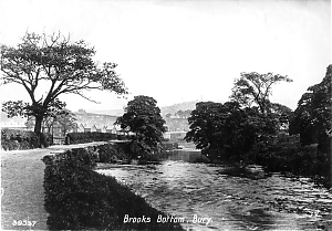
RHSBA21-18-03-020.jpgPC.mark 1908 of Irwell, Waterside, Summerseat. Robin road brook L. The disturbed water is brook which powered Robin Rd mill entering Irwell Bury Archive
|
|
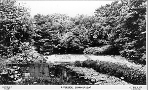
RHSBA21-18-03-021.jpgRiverside Summerseat. Could be just above Brox mill Bury Archive
|
|
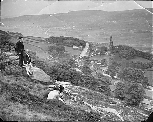
RHSBA21-18-03-022.jpgHolcombe Panorama. From hill south of Peel Tower mid 1930's See Holcombe village .Stubbins Haslingden Rd Edenfield, the Burnley road, and beyond. In Bolton Journal & Guard.12.6.1936Bury Archive
|
|
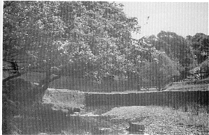
RHSBA21-18-03-023.jpgRedisher Woods another view, date? Guess pre 1930'S Bury Archive
|
|
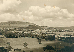
RHSBA21-18-03-026-01.jpgPrint of Holcombe Village 1980s pub. by f8 Photographers of Rams. Bury Archive
|
|
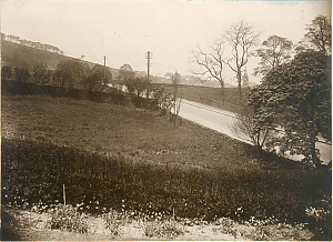
RHSBA21-18-03-026-02.jpgPrint of Holcombe Village 1980s pub. by f8 Photographers of Rams. Bury Archive
|
|
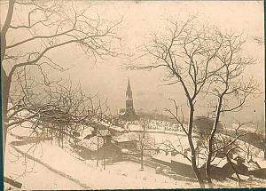
RHSBA21-18-03-026-03.jpgPrint of Holcombe Village 1980s pub. by f8 Photographers of Rams. Bury Archive
|
|
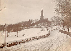
RHSBA21-18-03-026-04.jpgPrint of Holcombe Village 1980s pub. by f8 Photographers of Rams. Bury Archive
|
|
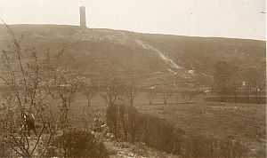
RHSBA21-18-03-026-05.jpgPrint of Holcombe Village 1980s pub. by f8 Photographers of Rams. Bury Archive
|
|
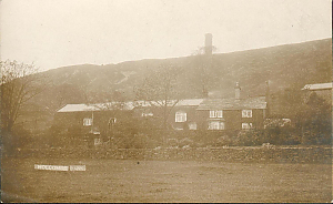
RHSBA21-18-03-026-06.jpgPrint of Holcombe Village 1980s pub. by f8 Photographers of Rams. Bury Archive
|
|
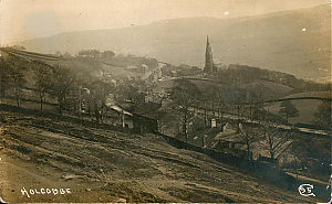
RHSBA21-18-03-026-07.jpgPrint of Holcombe Village 1980s pub. by f8 Photographers of Rams. Bury Archive
|
|
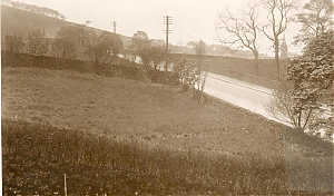
RHSBA21-18-03-026-08.jpgPrint of Holcombe Village 1980s pub. by f8 Photographers of Rams. Bury Archive
|
|
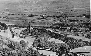
RHSBA21-18-03-026-09.jpgPrint of Holcombe Village 1980s pub. by f8 Photographers of Rams. Bury Archive
|
|
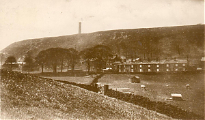
RHSBA21-18-03-026-10.jpgPrint of Holcombe Village 1980s pub. by f8 Photographers of Rams. Bury Archive
|
|
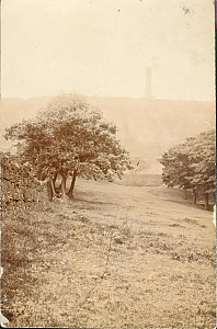
RHSBA21-18-03-026-11.jpgPrint of Holcombe Village 1980s pub. by f8 Photographers of Rams. Bury Archive
|
|
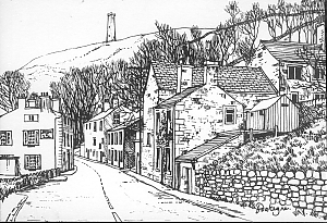
RHSBA21-18-03-026.jpgPrint of Holcombe Village 1980s pub. by f8 Photographers of Rams. Bury Archive
|
|
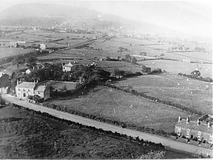
RHSBA21-18-03-027.jpgp384 a 1930s? Aerial pic across Brandlehome Rd towards Greenmount ..& Holcombe Brook. Bury/Holcombe railway to L. Lumb Carr Rd Centre bg, Longsight Rd. R. bg. Bury Archive
|
|
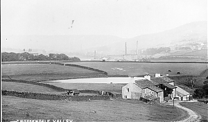
RHSBA21-18-03-029.jpgYiew of Rossendale Valley(p.c) c. 1910. Looking to New Hall Hey Farm to right Langwood.House to left Brynbella now Cribden House School. Rawtenstall - Edenfield bypass cuts through centre fieldsBury Archive
|
|

RHSBA21-18-03-036.jpgAugust Bank Holiday weekend 1964 (then the weekend of the first Monday in August) was marked by heavy rain over Ramsbottom and RossendaleBury Archive
|
|

RHSBA21-18-03-037.jpgAugust Bank Holiday weekend 1964 – the River Irwell adjacent to Square, then disused, but largely intact. The footpath tunnel under the railway and behind the camera completely floodedBury Archive
|
|

RHSBA21-18-03-038.jpgAugust Bank Holiday weekend 1964 – a DMU crossing the Irwell south of Ramsbottom, unaffected by the rising flood waterBury Archive
|
|
|
|
|
|
|
|
|
|
|
|
|
|

RHSBA21-18-03-041.jpgRamsbottom from Albert Street Bury Archive
|
|

RHSBA21-18-03-047.jpgPanoramic view of Ramsbottom- one of two images St. Paul's Church on leftBury Archive
|
|

RHSBA21-18-03-048.jpgPanoramic view of Ramsbottom- one of two images St Andrew's Church on left Bury Archive
|
|

RHSBA21-18-03-049.jpgNuttall Bridge Looking west. Postcard Bury Archive
|
|

RHSBA21-18-03-050.jpgWater well on Nutter Brows On route from Starling Street, Nuttall to Summerseat Bury Archive
|
|

RHSBA21-18-03-051.jpgAerial view of Ramsbottom Shows St Andrew's Church, B.D.A. Works on Bolton Road West, Nuttall LaneBury Archive
|
|
| 1548 files on 6 page(s) |
 |
 |
 |
6 |
|
